
The studies in this exhibition were taken from two exercises in which students were asked to explore physical representations of surface, to test model-making techniques, systematic sectioning and manipulation of landform as the starting point of design.
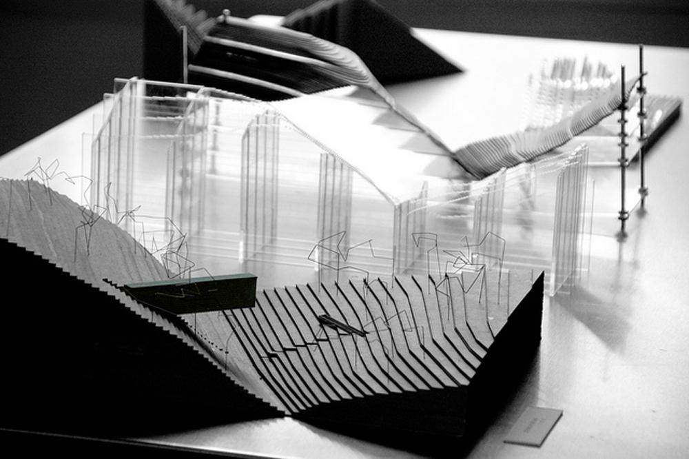
P1: Working from a selection chosen from the U.S.G.S maps of Austin topography, students were asked to purposely manipulate the contour through mirroring and build two types of contour models - one 'pancake' & one with vertical sections. They were asked to plan for specific modeling materials, and to develop the construction of the model as a thing itself.
P2: This project worked in/on the contour constructed in the previous project. Students were asked to inscribe or embed a linear boundary in a portion of the contour, from terms assigned more or less randomly: terrace, dam, fence, haha, revetement, retaining wall, swale, bunker, berm, palisade, gabion.
Curators
Sydney Mainster, Elizabeth Alford
More images from the VRC