Rob Holmes | Auburn University
TO SEE THE THING AT ALL
Holmes will present seven short propositions for a post-representational landscape architecture, beginning from the contention that if landscape is a problem, it is a problem that should not be solved. On the way, he will share recent work from the Dredge Research Collaborative and the Landscape Infrastructure Design Lab has shaped his understanding of what landscape architecture can and should be in a time of radical planetary transformation.
ABOUT ROB HOLMES
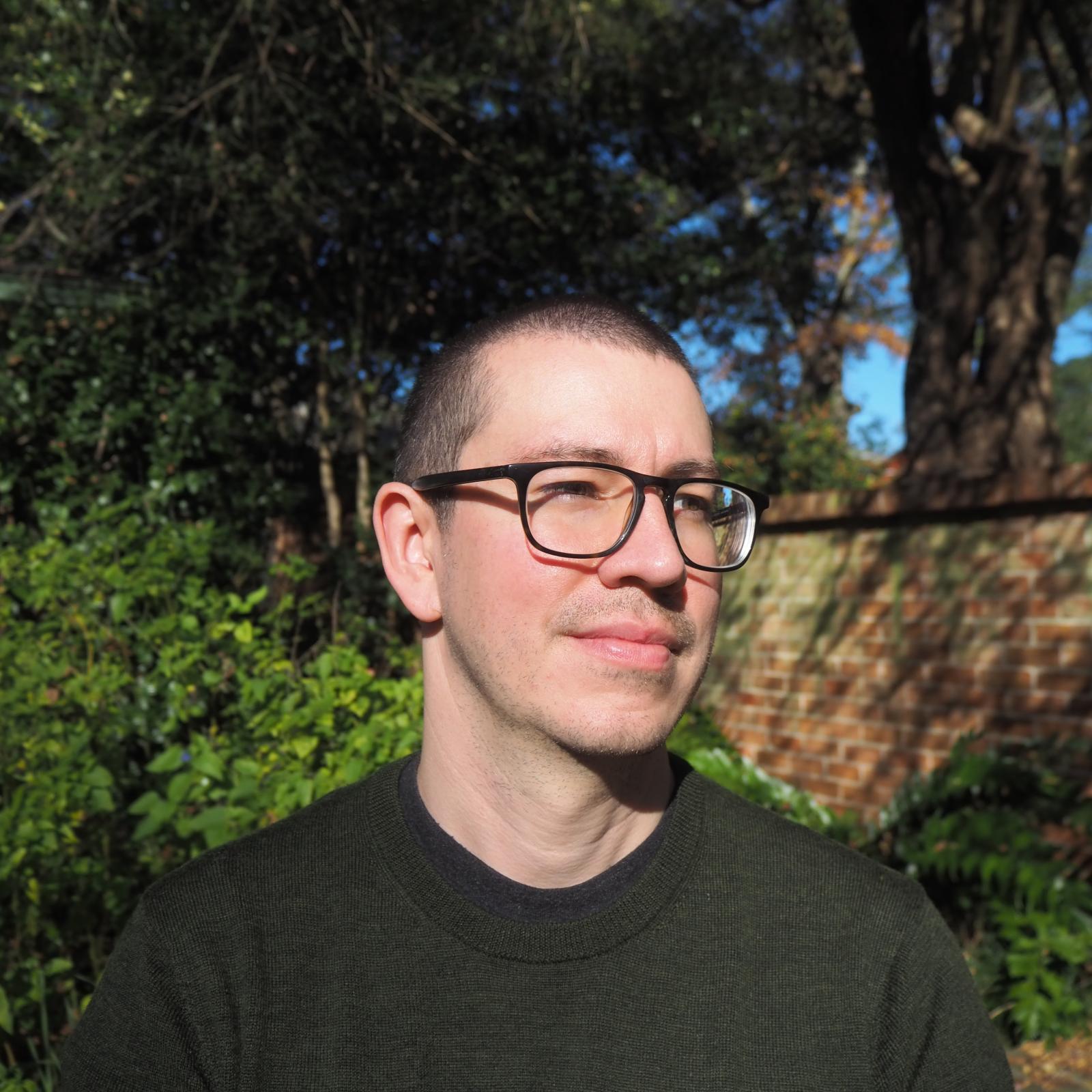
Rob Holmes is an associate professor at Auburn University and a member of the Dredge Research Collaborative. At Auburn, he chairs the undergraduate landscape architecture program and directs the Landscape Infrastructure Design Lab. With the DRC, he co-authored the book Silt Sand Slurry and, since 2017, has helped lead the EWN+LA Design Research Initiative for the Army Corps of Engineers’ Engineering With Nature program. With LIDL, he is currently helping to lead the Tidelands initiative, which is developing innovative natural infrastructure for bays and estuaries on the Atlantic and Gulf coasts.
His research and creative work is primarily concerned with infrastructure design, urbanization, and landscape change. He is a co-founder of the Dredge Research Collaborative, an independent nonprofit organization which aims to improve the design and management of sediment through publications, the DredgeFest event series, and design research.