Landscape Afterlife of the Urban Ditch: GIS Investigation of Persistent Infrastructure

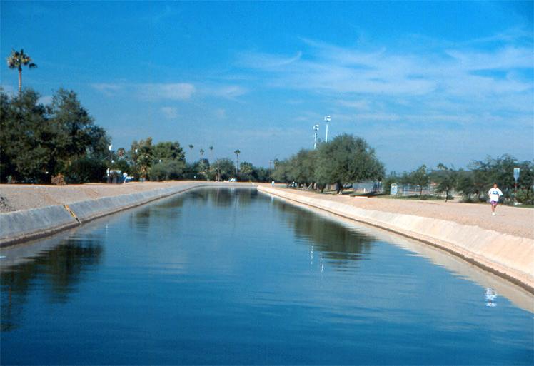
The American West has been urban from its beginnings, and irrigation systems took urban forms and functions in addition to agricultural ones. They served for fire fighting, street cleaning, industrial power, and most importantly to create a marketable oasis of street trees and green urban landscapes in the arid West. Early canals became the nuclei of urban water systems. They continue to serve as alternative infrastructure. Denver’s High Line Canal is the spine of a multi-modal metropolitan trail; Scottsdale is developing around a “Waterfront” district along the Arizona Canal.
This project traces the role of ditch systems in cultural heritage, urban design, and recreation and open space planning, in five cities: San Antonio, Los Angeles, Salt Lake City, Denver, Phoenix. The Potter Rose GRA supported GIS analysis of historic and current mapping.